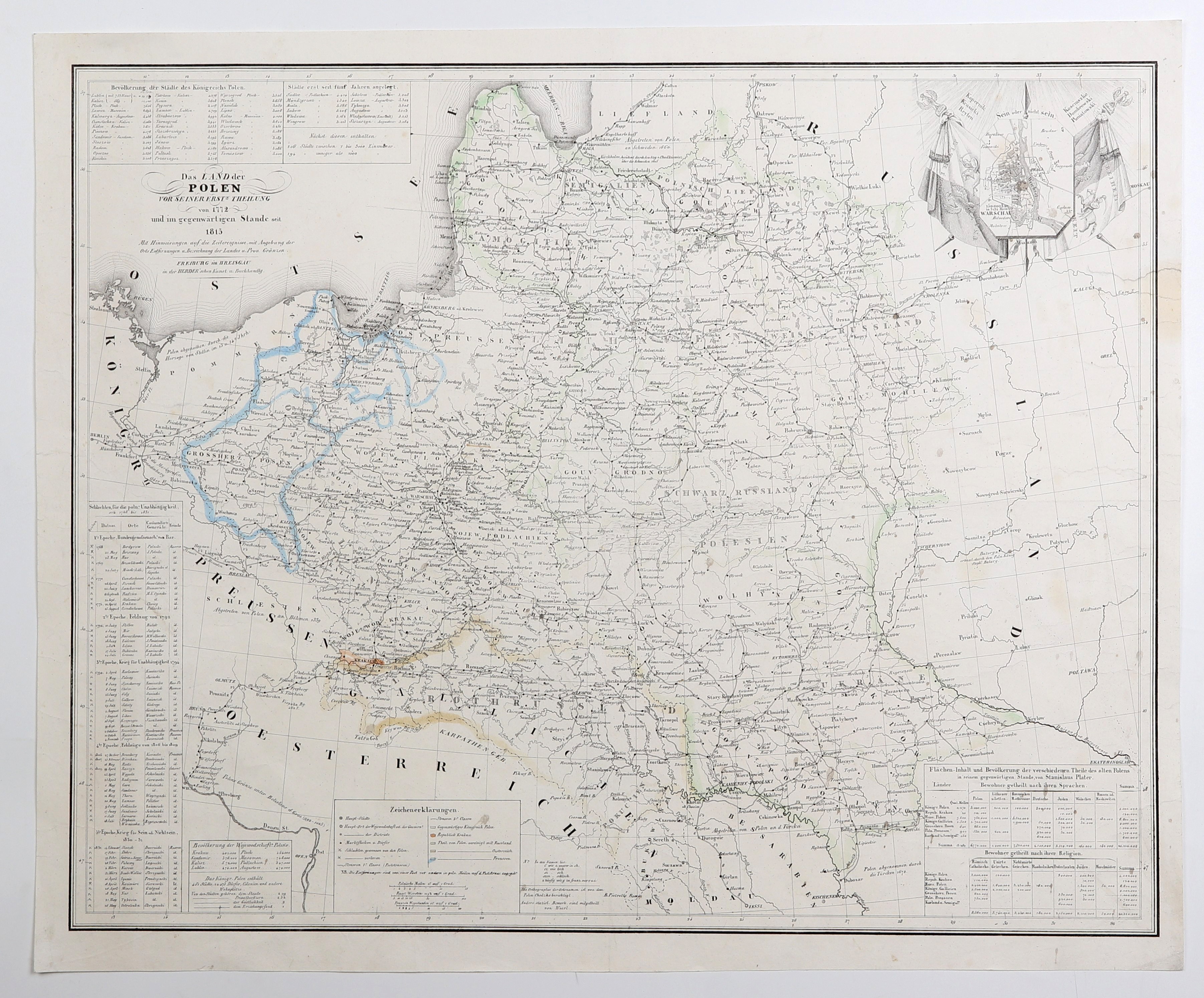
POLAND, LITHUANIA. Pre-partition map of the Republic; compiled by. Woerl, L. Chodźko, published by Herder, Freiburg im Breisgau, after 1831; side plan of Warsaw, legend, plus boxes giving: 1) population of major cities of the Kingdom of Poland; 2) battles - with mention of commanders - during struggles for independence in 1768-1831 (Bar Confederation, 1792 campaign, Kosciuszko Insurrection, struggles in 1806-1809, November Uprising); 3) population of individual provinces and detailing number of cities, villages, colonies, settlements; 4) area of provinces, number of inhabitants by languages spoken and religions practiced in the Kingdom of Poland, Free City of Cracow, under Russian annexation, Galicia, the Grand Duchy of Posen, under the Prussian partition, and in Courland and Semigallia; for example, in the Kingdom of Poland, among others, Catholics - 3,200,000, Greek Catholics (Uniates) - 100,000, Protestants - 900,000, Jews - 400,000; Orthodox, Old Believers and Muslims are also included; steel. cz.b. with line color, condition bdb., after conservation; dimensions 553x443 mm; Das LAND der POLEN VOR SEINER ERSTE THEILUNG von 1772 und im gegenwärtigen Stande seit 1815; INCREDIBLY RARE.