


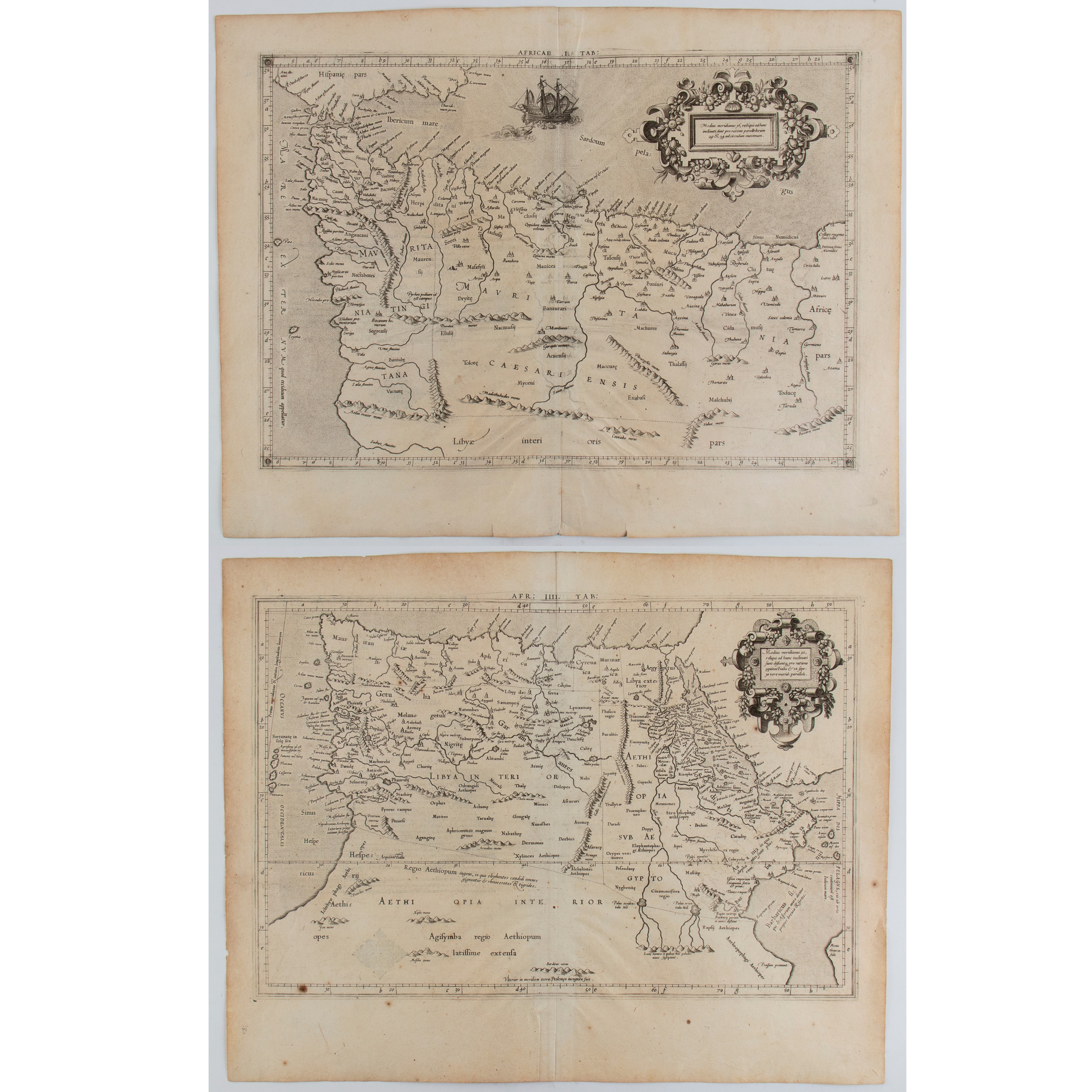
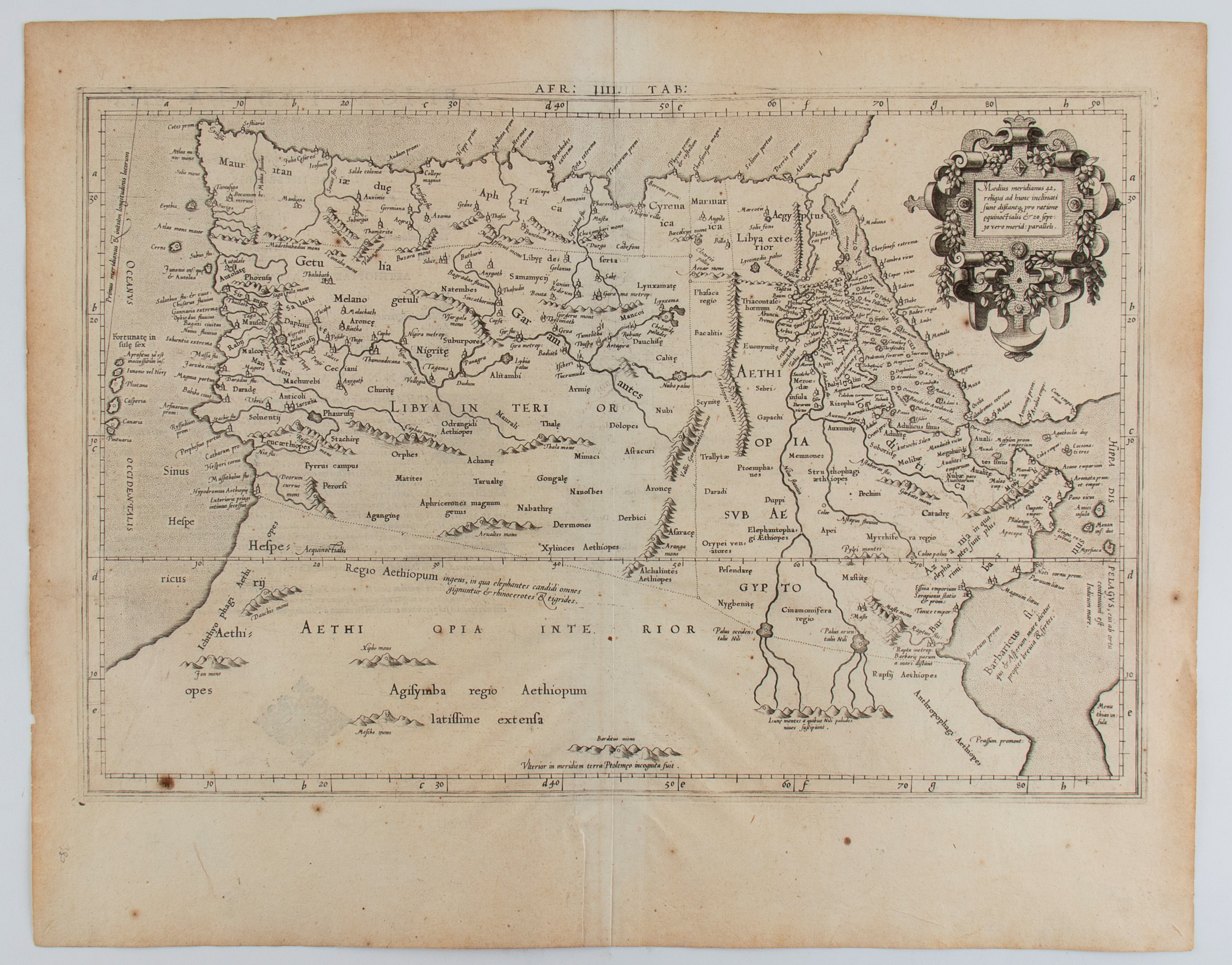

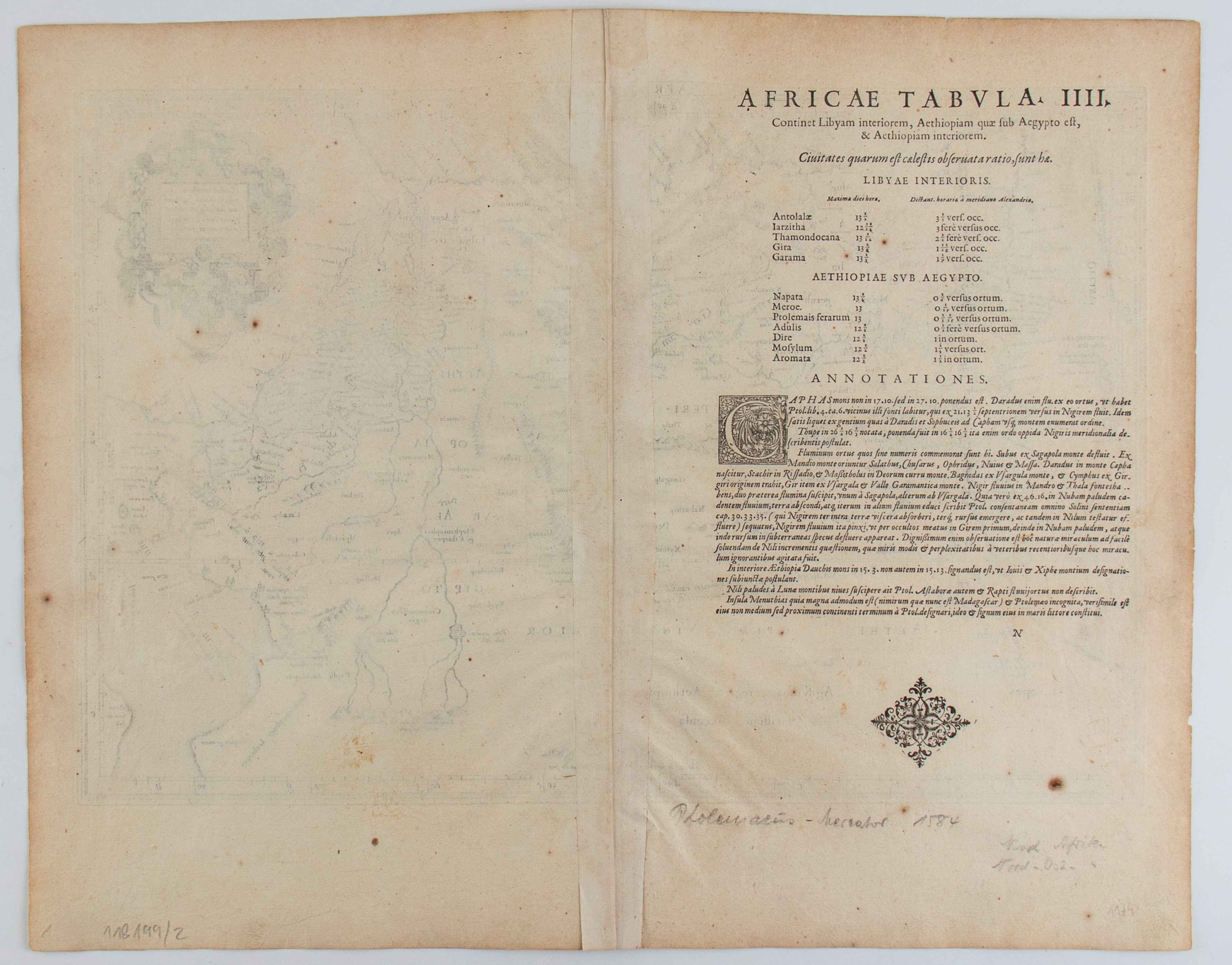
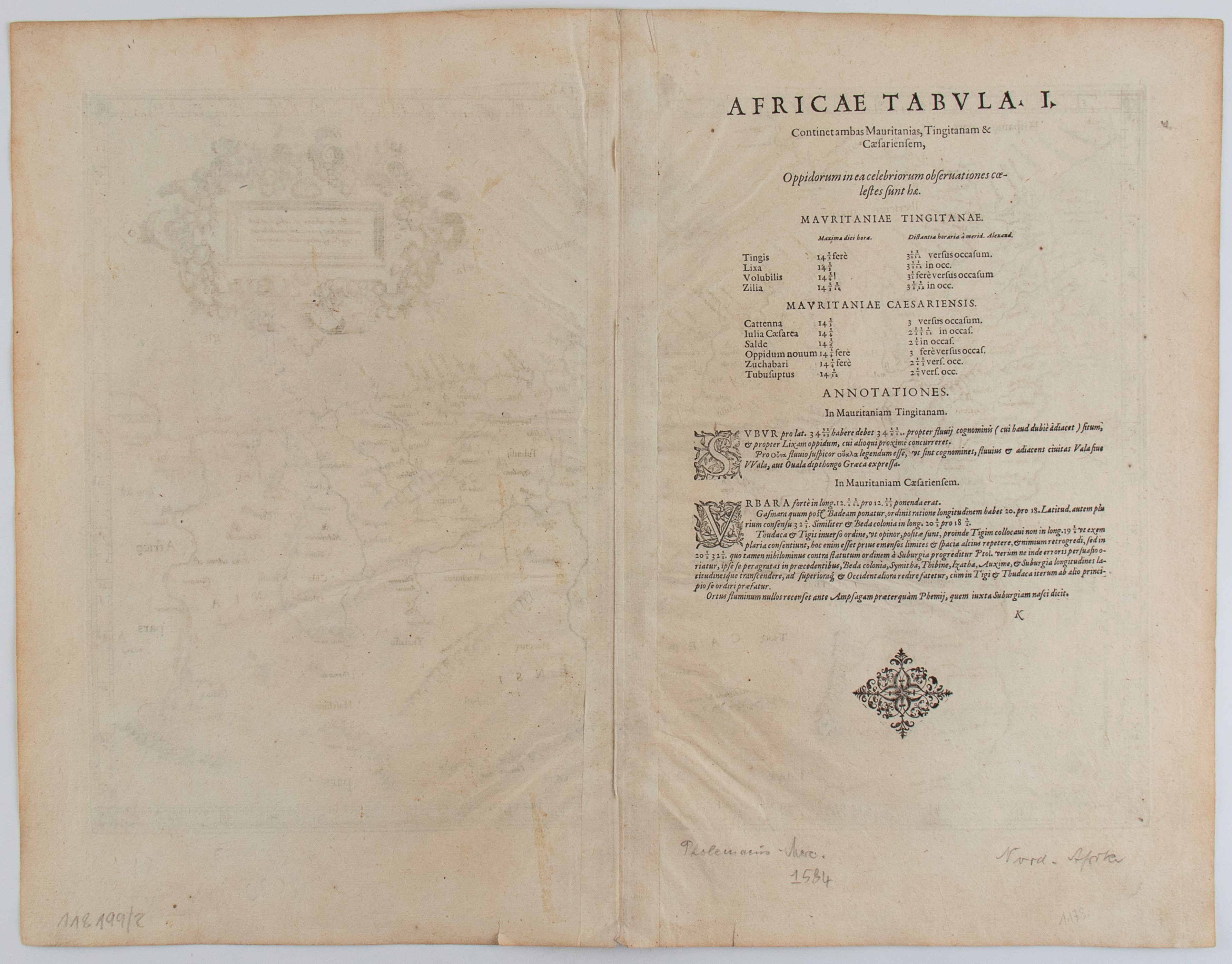
Etching and engraving, approx. 410 x 510 mm each sheet. Lot of two maps of Africa by Mercator, based on the work of Ptolemy, with the territories of Morocco and Tunisia (plate I) and Libya and Ethiopia (plate III).
Each print on thin laid paper with watermark. With usual editorial folds. In general good condition, except for signs of browning and some creasing along the folds.










Nylig sett
Logg deg inn for å se en liste over objekter
Favorittobjekter
Logg deg inn for å se en liste over objekter